Forms of Relief
Senior 1 · Geography
Forms of Relief
Lesson 2 of 4
24 min
Drive from Musanze to Nyagatare and you pass through most of the landforms in this lesson: volcanic cones at the start, steep hills and deep valleys in the middle, and almost flat land at the end. Each landform has a name, a shape you can recognise on a photo or a map, and a story of how it formed.

Figure 1. The main relief forms of the continents, with Rwandan examples (schematic, not to scale).
Definition
Mountain: a large mass of land rising steeply to a height well above its surroundings, usually more than about 600 m above them, often with a peak. Mountains may be volcanic (built from lava and ash), block (a block of crust pushed up between faults) or fold (layers of rock crumpled upwards). Examples: the Virungas (volcanic); the Rwenzori (block, 5,109 m, on the Uganda–DR Congo border); the Atlas of North Africa (fold).
Definition
Hill: a raised area of land, lower and more rounded than a mountain. Example: the rounded hills of the central plateau, such as those around Huye.
Definition
Plateau: a large area of high, fairly level land, often with steep edges on at least one side. Example: much of East Africa, including central and eastern Rwanda, is a plateau standing more than 1,000 m above sea level.
Definition
Plain: a large area of flat or gently rolling low land. Example: the eastern lowlands around Akagera and the Bugarama plain in Rusizi District.
Definition
Valley: a long, low area of land between hills or mountains, usually with a river flowing along it. Young rivers cut V-shaped valleys. Example: the Nyabarongo valley west and south of Kigali.
Definition
Rift valley: a long valley with steep, straight sides, formed where a block of the Earth's crust has sunk between two parallel faults. Example: the Albertine Rift, the western branch of the East African Rift, in which Lake Kivu lies.
Definition
Escarpment: a long, steep slope or cliff at the edge of a plateau or rift valley. Example: the steep wall that falls from the Congo–Nile Ridge down to Lake Kivu.
Figure 2. How a rift valley forms. Lake Kivu, Lake Tanganyika and Lake Albert all lie in rift valleys formed this way.
The Albertine Rift runs from Lake Albert in the north to the southern end of Lake Tanganyika, passing along Rwanda's western border. The Congo–Nile Ridge forms its raised eastern shoulder, which is why the land rises so steeply from Lake Kivu.

Worked example: how deep are the rift valleys?
Lake Kivu's surface is 1,460 m above sea level and the lake is about 475 m deep. Lake Tanganyika's surface is about 770 m above sea level and its greatest depth is about 1,470 m. How high is the deepest part of each lake floor, compared with sea level?
So what? The floor of Lake Tanganyika lies about 700 m below sea level, although the lake is 1,000 km from the ocean. Only the sinking of a rift valley can explain a hollow that deep in the middle of a continent.

Important
Case study: Rwanda's relief features and where to see them
| Feature | Where in Rwanda | What you notice |
|---|---|---|
| Volcanic mountains | Musanze, Burera and Nyabihu districts | Cone shapes, crater lakes (Bisoke has one), black volcanic rock and very fertile soil |
| Rift valley and escarpment | Lake Kivu shore: Rubavu, Rutsiro, Karongi, Nyamasheke, Rusizi | Steep slopes plunging to a long, deep lake; frequent small earthquakes |
| Highland ridge | Nyungwe, Gishwati, Mukura | Mountain forest, cold nights, heavy rain; sources of rivers |
| Hills and valleys | Central plateau: Huye, Muhanga, Kigali | Rounded hills with farms, valley-bottom marshes used for rice |
| Plains and low plateau | Eastern Province: Nyagatare, Kayonza, Kirehe; Bugarama plain | Wide, gentle land, savanna, cattle ranches, lakes such as Ihema |
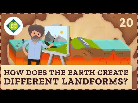
How Does the Earth Create Different Landforms? Crash Course Geography #20, by CrashCourse (13 min). Watch for the difference between landforms built up by forces inside the Earth and those worn down by rivers, wind and ice.
Look at the three photographs in this lesson. For each one, name the main relief feature and explain one way it helps, and one way it limits, the people who live there.
Tip
Plateau = a raised "plate": high and flat. Plain = plain and simple: low and flat. A rift is a "rip" in the crust.
Practice
Remember
Sources and credits
The lesson text, diagrams, tables, worked example and practice are written by Ganzaa.
This lesson adapts CC BY-SA material and is shared under CC BY-SA 4.0.